Pages

Tuesday 27 November 2018

Maria Point

Tuesday 27th November 2018

Maria Point
Maria Point is located in the Sandford area and is between Ralphs and Mortimer Bays. I started the walk at the public boat ramp at Haynes Point near Lauderdale.
There is no real need for any description as the walk just followed the coast line right along to Maria Point, to Gorringes Beach and then back along the road to the start. The walk consisted of small rock hopping, some nice beaches and the majority of the coastal section was on basically flat rock.
This was an easy flat type walk with good coastal scenery and much better than I had been expecting.
A better option would be to have a car at the start and one at Gorringes Beach, thus shortening the distance considerably but the flat road walking was okay.
The beaches along the western shore have no public road access so they are like private beaches but the walk was all in the coastal reserve.
The walk is best done when the tide is low especially around Maria Point.

Start

Heading South

Heading South - lots of flat rock like this

Heading South

Droughty Point

Heading South
Drilling Rig and Tugs

Heading South

Richardsons Beach
Ralphs Bay

Bit of Flotsam

Heading South

Maria Point

Around the Eastern Side of Maria Point

Sign on Eastern Side of Maria Point

A Relic

Lowlands near Lauderdale
Distance: 18.9 kms.
Time: 5'11"
Ascent: 90 metres
GPX file is here.


Tuesday 20 November 2018

New Road Mill

Tuesday 20th November 2018
Old Boiler at the New Road Mill Site
I had been to the site of the old sawmill off New Road near Franklin probably 5 or 6 years ago and thought it was worth another visit. I decided to combine it with a walk around some of the forestry roads in the area. This would entail a bit of a scrub bash which I could have done without.
I parked a little down New Road from where the forestry land starts and walked up to where I thought the road branched off to the mill. All this area had been recently logged and I turned off too early, but eventually found the track leading to the mill.

Recently logged area (not pretty)
Castle Forbes Rivulet

Track to the Mill
It was only a short distance to the old mill site and the same relics where still there, although more overgrown than before. The chimney stack used to be visible from the track but not anymore. I poked around and took a few photos.


There used to be an old tramway track here also but that is really non existent now. I wandered around a few tracks before beginning the scrub bash south westwards towards the forestry roads. It was okay at first but became thicker with scrub and cutting grass. There was evidence of logging in the distant past and it was a relief to finally break out onto the road.


Old Logging Technique

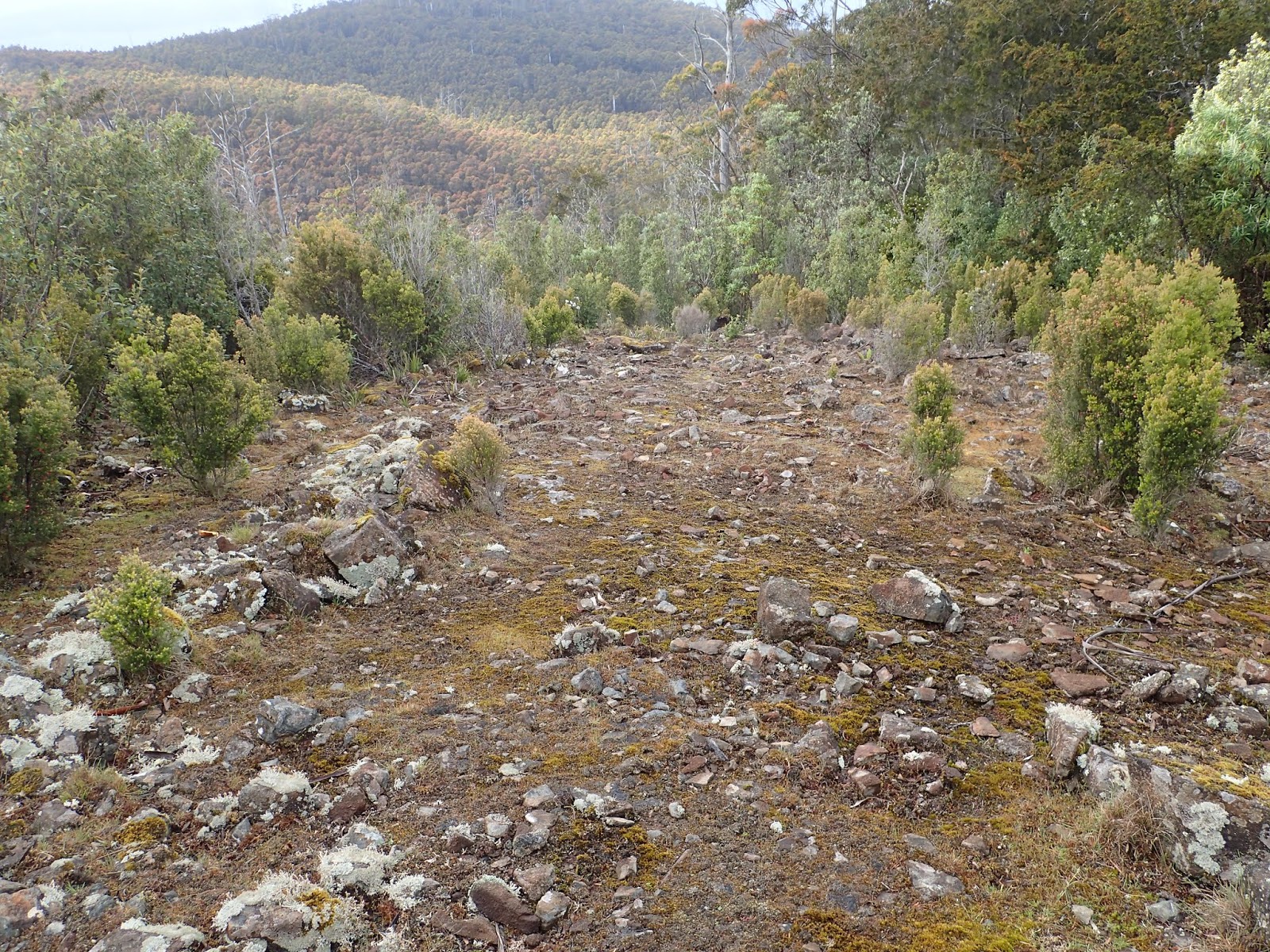
Open Bush before the Cutting Grass


Almost as soon as I reached the road I was supposed to take a short cut which I figured was on an old track but it proved to be a scrubby creek and not a track. Having had enough of scrub bashing for the day, I back tracked to the road and walked a bit of a circuit to get where I wanted to be. It was then an easy amble back to the car. There were plenty of spring flowers around.


Some really tall Eucalypts


This is a walk I would not recommend due to the scrub and cutting grass but a visit to the mill site is worth it even though it would be only a short walk. It is possible to drive to about 1.0 kms. from the site
Distance: 17.6 kms.
Time; 5'56"
Ascent: 400 metres
GPX file is here.


Thursday 15 November 2018

Tylers Hill

Thursday 15th November 2018

Summit Tylers Hill
I have had a layoff from walking for a while for a few reasons but mainly due to a niggling knee injury. I wanted something that provided easy walking to get back into it and opted for Tylers Hill which is all on a good gated forestry road. I would be quite easy to actually cycle the entire distance.
I parked at the start of Hays Road just off the highway between Dover and Southport and headed up the road and around the locked gate. There were plenty of ferns beside the road and I heard numerous lyre birds calling. It was just a gradual climb up to the summit of Tylers hill and all very straightforward.

Hays Road

A local resident

First sighting of Tylers Hill
Tylers Hill is a communications hot spot with various masts, a fire tower and buildings. I climbed up the fire tower to obtain a better view but the surrounding countryside was shrouded in mist and rain. There would be great views from here on a clear day. It was very cold and windy with light rain falling. Consequently I did not stay up there too long.

Summit Tylers Hill

Looking West

Southport Lagoon
Summit Tylers Hill


Fire Tower

Looking South East

Summit

Summit
I had a bit of a wander around and then started heading back. I had planned to go down through the bush to a spur road and then to Caterpillar Road and back to the car that way but there was forestry machinery working down where I wanted to go, so I just went back the way I had come. It was probably a much easier option. There were plenty of spring flowers about and it was quite colourful in places.


By the time I had almost reached the car it had fined up nicely as shown by the photo of Adamsons Peak.


Not a bad walk and very easy, and the views from the top would be good on a clear day.
Distance: 16.3 kms.
Time: 4'10"
Ascent: 450 metres
GPX file is here.